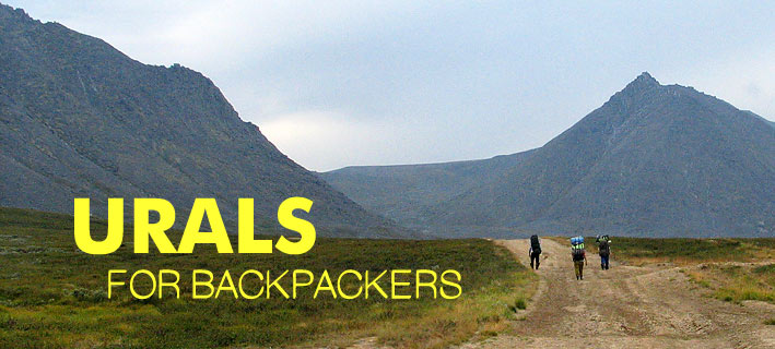
URALS – STONE BELT
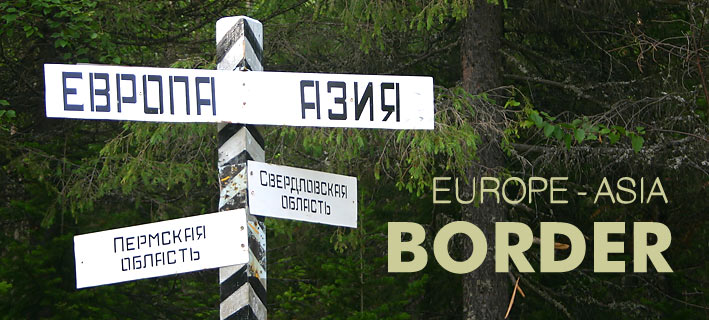
An extensive mountain country at THE BOUNDARY OF EUROPE AND ASIA, stretching from north to south more than 2000 km. Geographically the Urals are divided into five parts: Southern, Middle, Northern, Pre-Polar (the highest mountains) and Polar. Only a small part of the Urals is covered with ice and the climate is continental with the majority of precipitation during summer – the most clear and warm weather is in July and August.
SOUTHERN URALS The southern Urals, stretching from the valley of the Ural River near the city of Orsk to the valley of the Ufa River north of Mount Yurma, are the widest. The eastern slopes are characterized by forest-steppe with numerous lakes, while the western slopes are characterized by karst regions and a forest zone up to a height of about 1200 metres. The southern part is mostly steppe.
The southern region of the Urals is densely populated. It has a well-developed railway, auto transport, and communication system. In the southern Urals there are several national reserves - among them Bashkirskii Nature Reserve with the well-known cave “Capova” and Mineralogical Ilmenskii Reserve. The southern Urals are very popular among tourists (rafting) because of the many ideal rivers and a very convenient transport infrastructure.
MIDDLE URALS
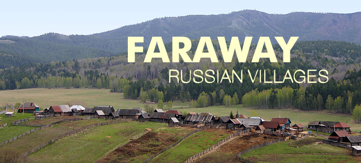
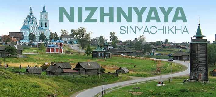
The middle Urals stretch to the latitude of the city Serov and is the most narrow and lowest part (up to only 1000 metres). The middle Urals, are a zone of coniferous and mixed forest. This area has been populated for a long time with the territories of Sverdlovsk and Perm located here. It also has well-developed railway, auto transport, communication system and industries. Many of the plants have interesting histories. In the middle Urals there are the Visimskii and Basegi Reserves and a famous ice cave “Kungurskaya”. There is also a region of precious stone deposits known as the Murzinsko-Aduiskii Belt.
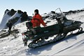
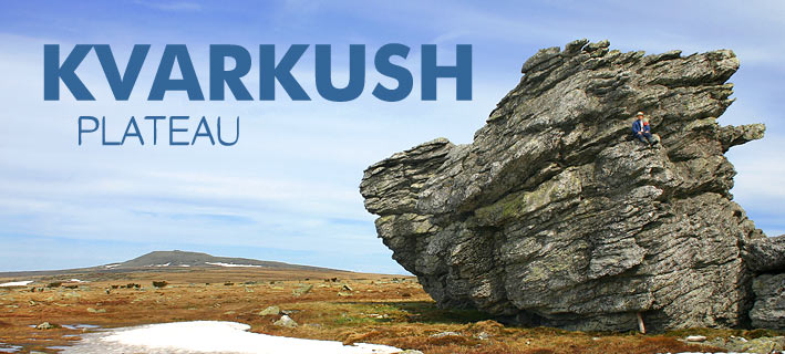
NORTHERN URALS Stretching to the valley of the river Schugor are the northern Urals, which are higher (up to 1600 metres) and wider than the middle Urals. This area is disposed in forest zone and the climate is more rigorous. The northern Urals occupy the northern part of the Permian and Sverdlovsk regions, part of the Komi Republic and Khanty-Mansiisk autonomous region. The area is sparsely populated and has a poorly developed transport network. In the northern Urals there are a few reserves - Denezhkin Kamen, Pechoro-Ilychskii and Visherskii. At the upper part of the river Pechora, there are seven famous picturesque stone rocks – “idols” on the plateau Man-Pupu-Ner. The forests are abundant with berries and mushrooms while in the rivers there are many different species of fish. Tourists pass through this relatively uninhabited region in a condition of absolute autonomy.
PRE-POLAR URALS
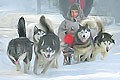
The pre-polar Urals reach up to the upper part of the river Khulga (Lyapin). The mountain area is higher and wider than the mountain area of the northern Urals. In the central part of the pre-polar Urals there are highest peaks of the Urals – Mount Narodnaya, Mount Karpinsk and the most beautiful mountain of the Urals – Mount Manaraga. The pre-polar Urals are in a forest zone, with the boundary of the forest at 400-600 metres. In the pre-polar Urals there is a great national park - “Ugyd-Va” (“clean water”). The climate of the pre-polar Urals is severe. This area occupies part of the Komi Republic and Khanty-Mansiisk autonomous region. It is thinly populated and also has a poorly developed transport network. It must be stressed, that tourists pass through this region and the polar Urals in condition of absolute autonomy as the areas are virtually uninhabited.
POLAR URALS
The polar Urals stretch north from the river Khulga (Lyapin) with most of the mountains 1000 metres and higher. The numerous mountain peaks are separated by passes at heights of 300-400 metres. For the most part this area is a tundra zone with an extreme climate. Summer is from mid July to mid August. The polar Urals are also virtually uninhabited and have almost no developed transport network – a most inhospitable region.
Some more maps of the Urals: Please Choose what is it interesting and necessary for you and we'll send it to you.